The locator map tool has been designed to easily create a smaller map featured on the same page as the main map. Making the map only takes a few easy steps. See below.
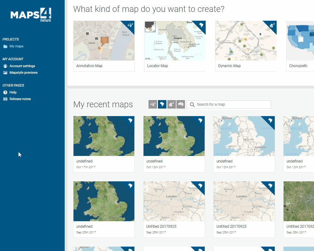
1. Start a new project by selecting the locator map under 'my maps'.
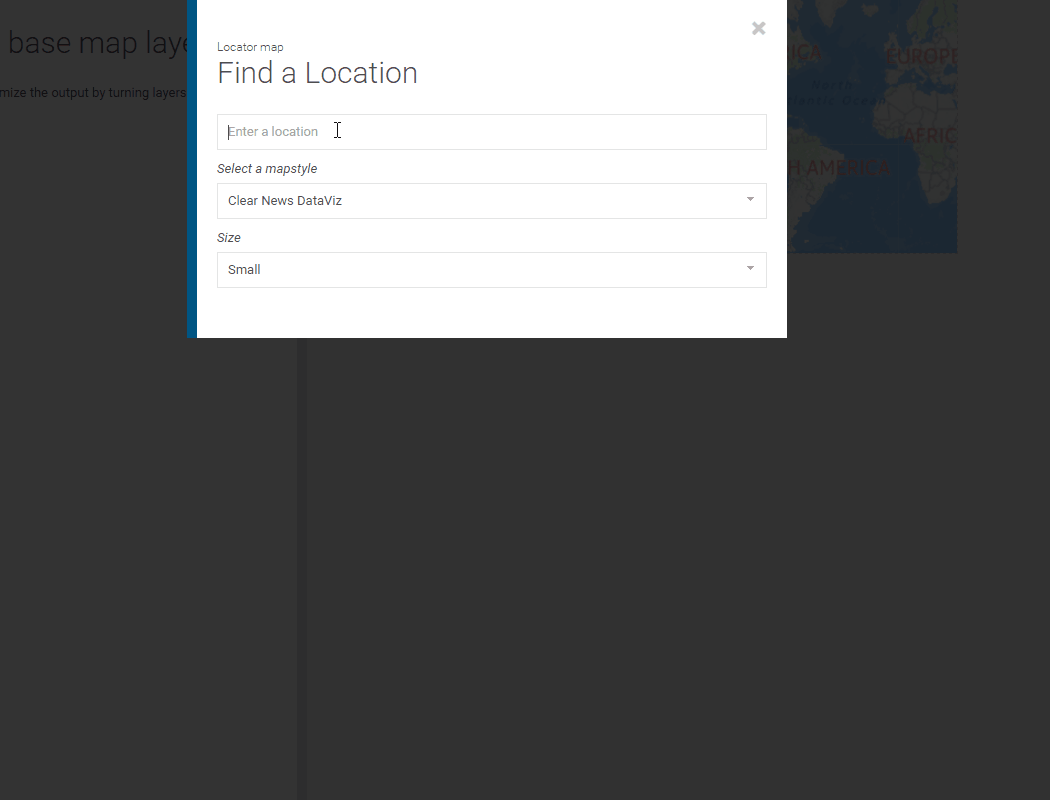
2. Specify your location, map style and the size of your map. Next you will be asked to define the polygon that will be highlighted on your output map. You can choose from national, regional, or city borders for the boundaries of your polygon.
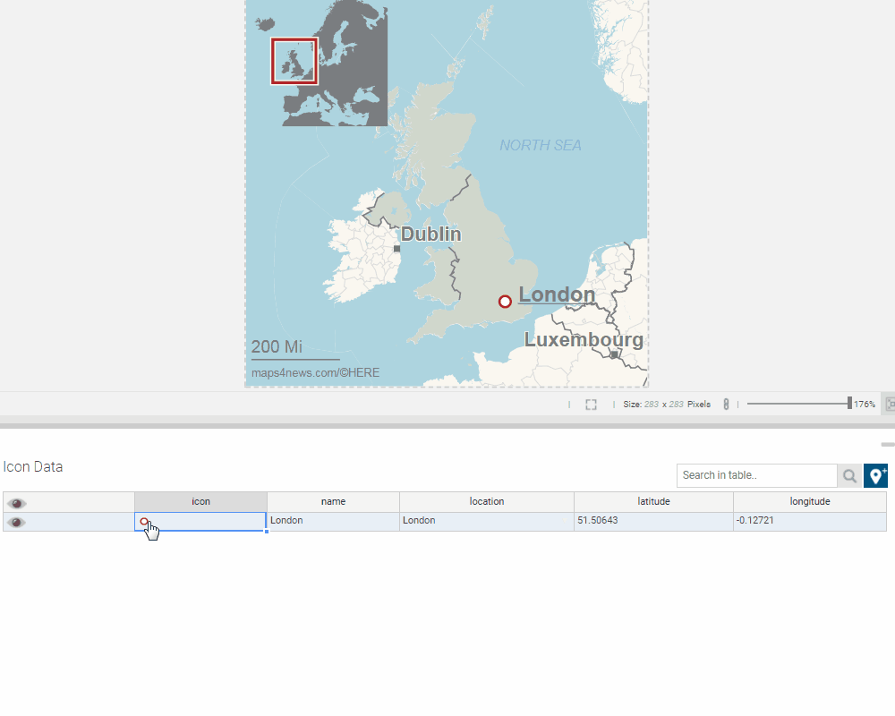
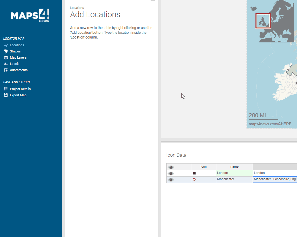
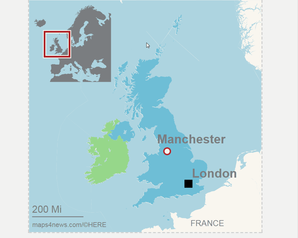
3. Now you can choose an icon for your previously specified location. The icon can be selected by clicking on the icon cell. You can also add additional locations.
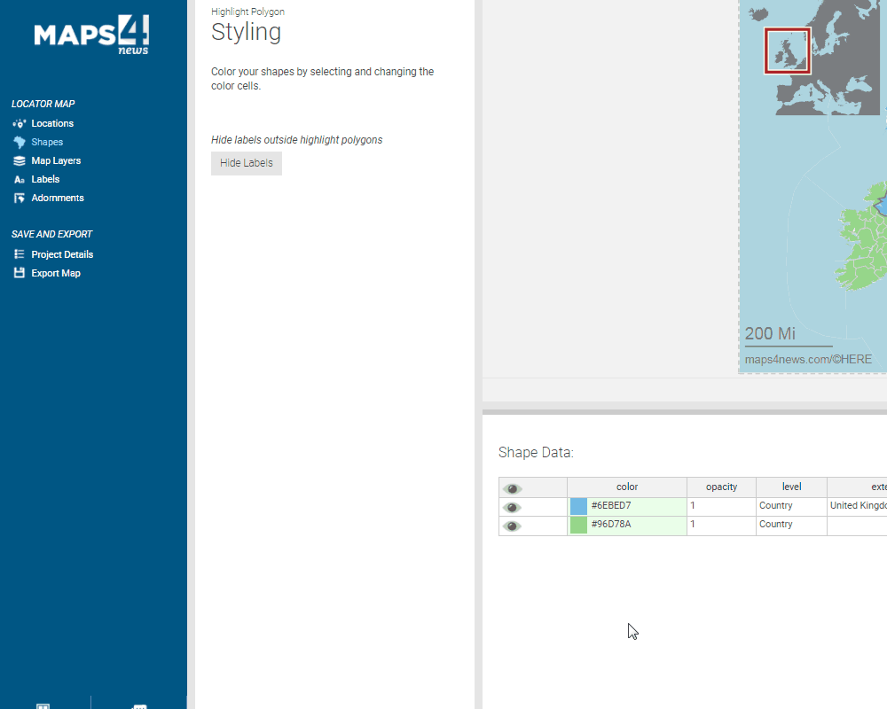
4. Next step is to add polygons and select the colors. You can also change the opacity of the highlight if needed.
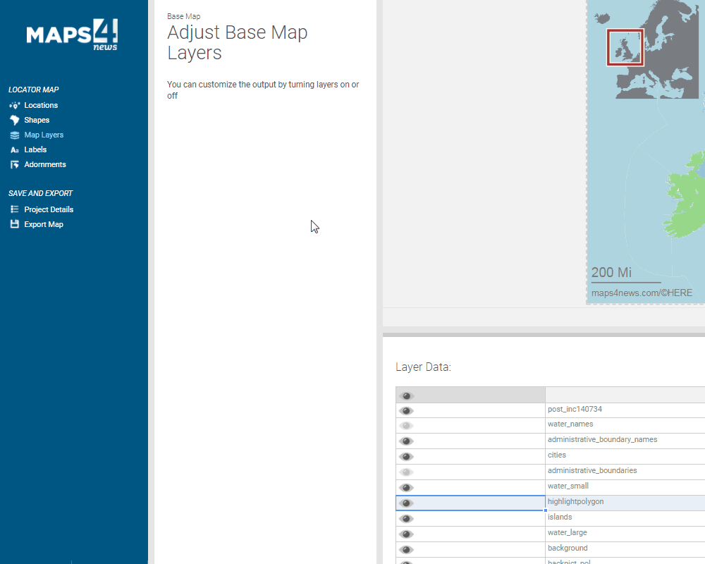
5. You can also manipulate the layers that will be visible
6. The labels can be freely moved around the map, you can also enable/disable them in the label overview.
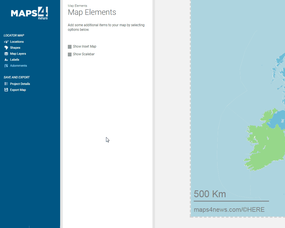
7. Now just adjust your adornments. It is possible to move the inset map and the scale, simply drag and drop the items. If you wish to change the zoom level or the units, click on the inset map or the scale bar.
8. To download your map, click on ´Export map´, select the file formats for your map and click on ´Export´ and your map will download automatically.