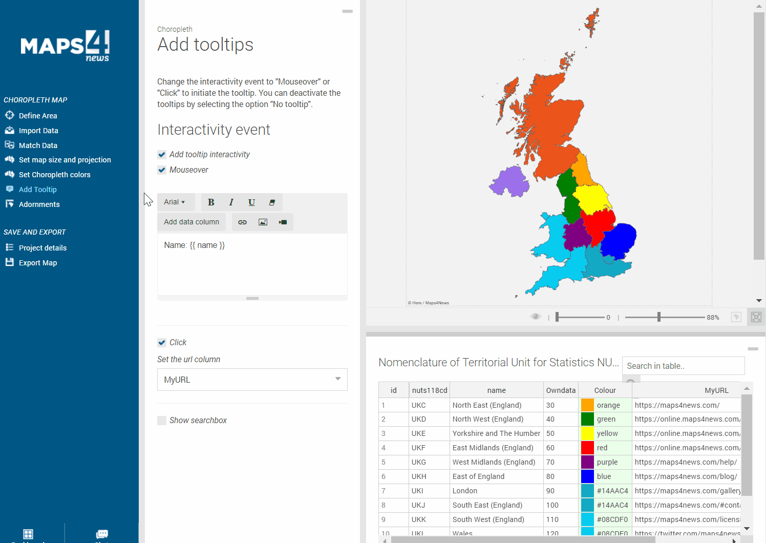
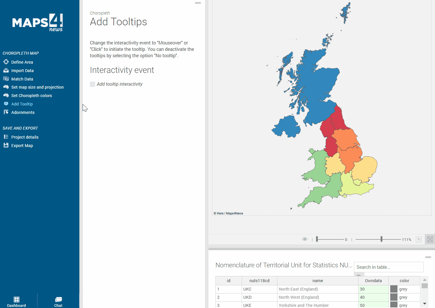
After highlighting several polygons, you can show more data within popups and publish your Choropleth Map as an interactive map online. Only requirement by your CMS is the support of (interactive) SVGs and to activate “Add tooltip interactivity” in “Add Tooltip”.
Choose “Mouseover” to show the variable information from your dataset in pop-ups. Simply choose which data should appear from the “data column” and design it - change the font, font size, style and colour.
Choose “Click” and you have the option to re-direct readers to any URL. This could be a video, another article, a new website or even another (Choropleth) Map. Important to know: The URL needs to be saved in the spreadsheet or text file your uploading. If you are directing to another map, this map needs to be saved in the same directory of the server as the main map. Contact us if we can provide you with further information about that.
In order to test the output and publish it online, choose the interactive SVG output in the last step “Export Map”.
You can even include a search bar in your map! Simply activate the “Show searchbox” and specify for which column/names the reader can search. Export the map as an interactive SVG and your interactive map is ready to be published.